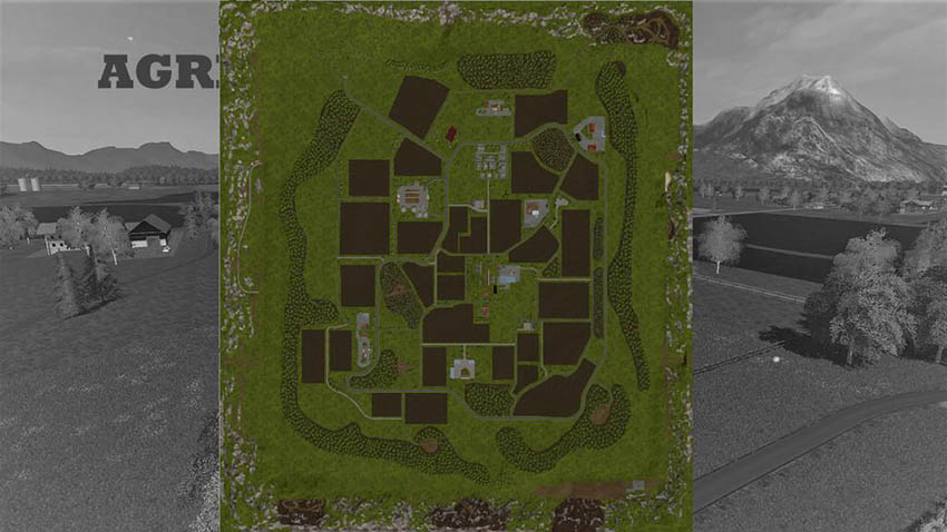
Agriculture Map v 1.0
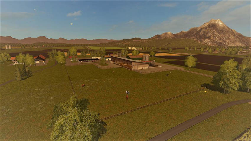
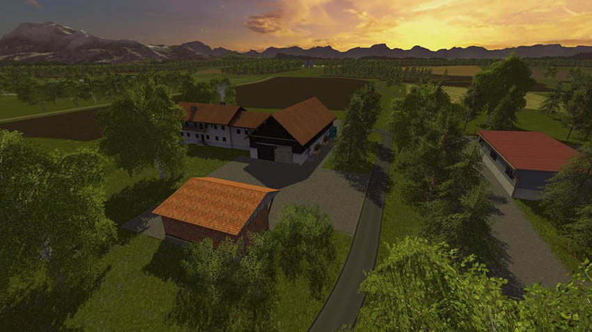
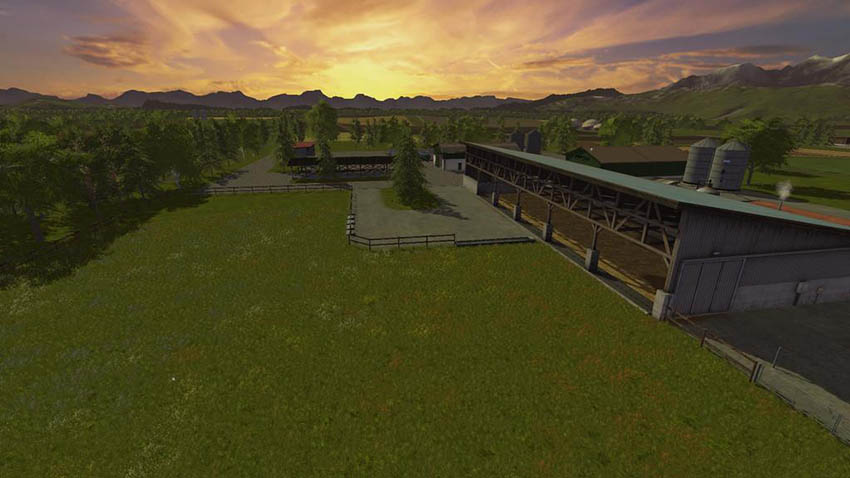
The Agriculture Map has been designed according to the landscape in southern Germany. Farmers find many ways to farm their fields. Beside the cow pasture and the Hühnerstall, which are located directly at the main house, the sheep pasture and the pig pens belong to the working areas of the cattle. Also in the forestry there are some possibilities to work the wood for the sawmill.
Description of the map:
– Farm
– Pigsty
– Pasture
– Biogas plant
– 2 warehouses (BayWa and Raiffeisen)
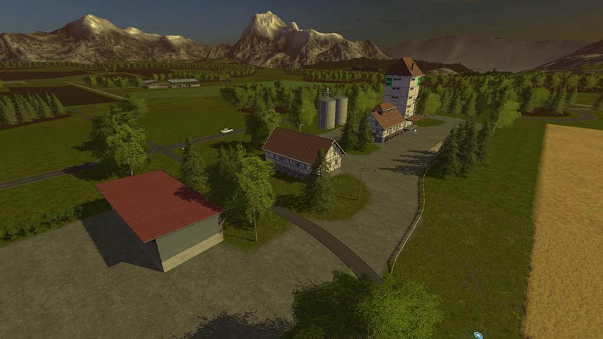
– Sawmill
– Village
features:
– Traffic
– Pedestrians
– Chopped Straw
Credits:
torubo